
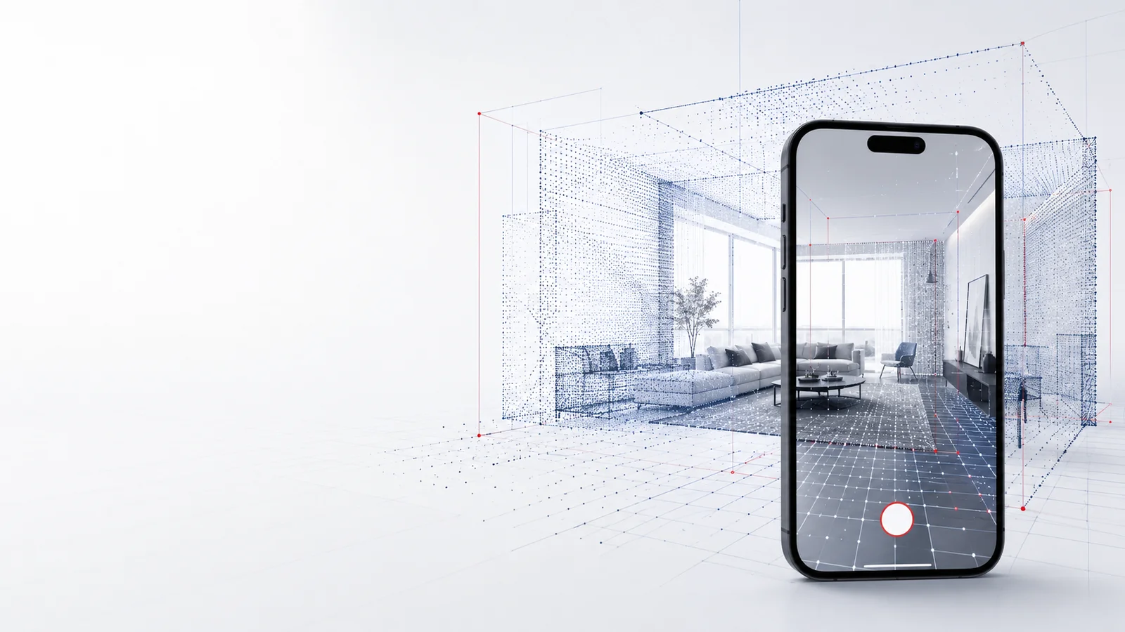
3D scan
Scan your property — free with the mkm|Scan app
LiDAR scan instead of an on-site appointment: you scan it yourself, we handle the evaluation.
- Free for iPhone Pro / iPad Pro
- Every scan stays free
- No on-site appointment needed
- Accepted by banks
Scan your property via app
The fastest way to your property documents
With the free mkm|Scan app you capture your property yourself — via the LiDAR scanner built into current iPhone Pro and iPad Pro models. You skip the on-site appointment, and every scan stays free permanently. We then turn the scan into a floor plan, area calculation or other requested documents — with the same result as the classic on-site survey — accepted by banks.
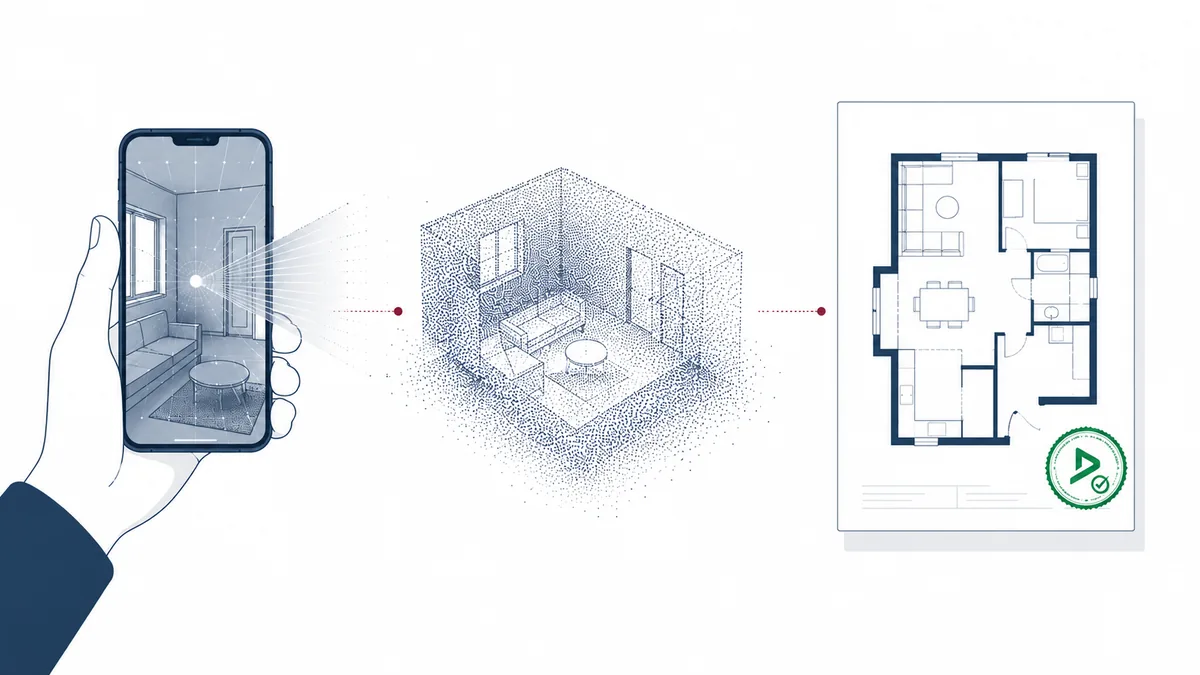
How it works
- 1
1. Install the app
Download the free mkm|Scan app onto your iPhone Pro or iPad Pro.
- 2
2. Scan the rooms
Walk through all rooms with the device — the app captures walls, dimensions and openings via LiDAR.
- 3
3. Transfer the scan
The completed scan is transmitted securely to our team.
- 4
4. Evaluation
We create your floor plan, area calculation or other requested documents from it.
What is included
- Free app for iPhone Pro / iPad Pro
- Every scan stays free permanently
- No on-site appointment needed
- Basis for floor plans, area calculations, elevations
- Evaluation accepted by banks, surveyor’s stamp on request
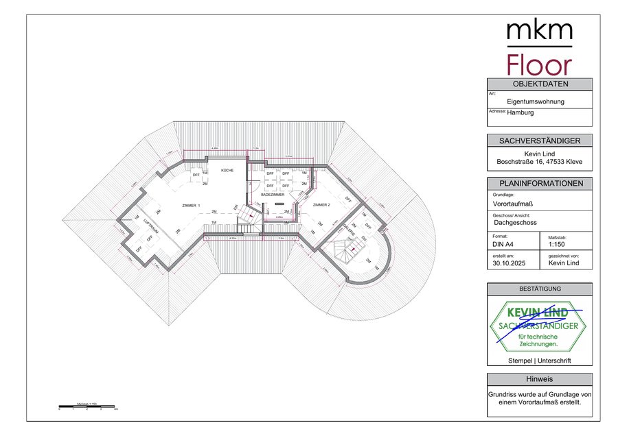
What does the scan cost?
The scan itself is always free — you only pay for the evaluation into a floor plan, area calculation and so on, from €75 net, plus VAT, per residential unit or level. The price calculator shows you the price for your property.
Go to price calculatorFrequently asked questions
Which devices does the mkm|Scan app support?
To scan, you need an iPhone Pro or iPad Pro with a LiDAR scanner. The app itself runs on iOS 17.6 or later, including older iPhones, iPads and Macs with Apple silicon — without the scanning feature there. An Android version is not currently available.
Does the mkm|Scan app cost anything?
No, the app is free, and every scan you create with it stays free permanently — you only pay for the evaluation into a floor plan, area calculation and so on.
How accurate is a LiDAR scan compared to an on-site survey?
For most residential properties, the LiDAR scan delivers sufficiently accurate data for documents accepted by banks. For very complex or large properties, we additionally recommend a classic on-site survey.
What should I keep in mind while scanning?
Start each room in a corner at ceiling height so the app can orient itself. Move the device calmly, avoid turns of more than 180°, keep about 3 to 4 metres of distance, and open curtains or blinds so door and window frames are fully captured — anything you don’t scan won’t show up in the result.
What if the room is too dark?
The camera needs enough light to capture the room — daylight is best. In low light, a simple work light with around 3,000 lumens helps.
What happens to the scan data after upload?
The scan data is transmitted securely and used exclusively to create the documents you commissioned. See our privacy policy for details.
Can I also use the scan for an on-site survey?
No — if you choose the self-scan, the on-site appointment with our team is skipped entirely. Either way leads to the same result: property documents accepted by banks.
Ready to scan?
Download the app or contact us with any questions about using it.
Tips for the perfect scan
- Start each room in a corner at ceiling height — this helps the app orient itself.
- Move calmly: no sudden movements or turns of more than 180°.
- Make sure there is enough light — daylight is ideal, otherwise a work light with around 3,000 lumens helps.
- Open curtains and blinds so door and window frames are fully captured.
- Keep about 3 to 4 metres of distance from walls and objects.
- For multi-level properties, scan each floor separately and name the files accordingly.
 Scanning tips